Location are roots!
- OUR VISION "Bridging the Gap Between Idea and Execution"
- Strengthen roots are strengthen us!. Let’s create value together.
- OUR MISSION "Promotion and Propagation of Technologies and Ensuring ROI"
Credentials - Certification and Registration
CMMI L3 Certification | ISO/ICE 27001:2022 – Information Security Management System (ISMS) | ISO 9001:2015 – Quality Management System | Start Up India | MSME. Let’s turn your vision into reality!
Our Story
How we started & what we do to be an end-to-end solution & consultancy
At Geo Solutions India, we don’t just keep up with change—we drive it
At Geo Solutions India, we believe in “Evolving by Involving.” Our philosophy is rooted in collaboration, innovation, and continuous growth. By actively engaging with our clients, partners, and industry experts, we create solutions that drive transformation and long-term success. With a strong focus on Agility and Return on Investment (ROI), we ensure that our strategies are adaptable, efficient, and results-driven. Whether it’s through cutting-edge technology, streamlined processes, or data-driven decision-making, we empower businesses to achieve sustainable growth in an ever-evolving market.
Emerging as a System Integrator with Geospatial Technology
As a forward-thinking System Integrator, we specialize in delivering Geo-Spatial Technology-based solutions that bridge the gap between data, infrastructure, and decision-making. Our expertise in GIS, BIM, CAD, and Digital Twin technologies enables organizations to harness the power of location intelligence for optimized planning, execution, and management. Whether in real estate, urban development, or infrastructure projects, we create seamless, scalable, and intelligent solutions tailored to modern challenges.”
Verticals
We look forward in deployment of end-to-end solutions. The “System Integration” approach is an add on to us.
Agriculture
Digital Twin
Water Resources
Mining
Town & Country Planning
Utilities (Telecommunication/ Power/Water/Sewage)
Defence & Intelligence
Urban Local Bodies
Metro/Railway/ Highway
Ports & Coastal Zone Management
Real Estate & Infrastructure
Forest Resources
Archeological Survey
Revenue Land Records
Agriculture
Digital Twin
Defence & Intelligence
Mining
Ports & Coastal Zone Management
Water Resources
Forest Resources
Urban Local Bodies
Metro/Railway/ Highway
Archeological Survey
Utilities (Telecommunication/ Power/Water/Sewage)
Revenue Land Records
Real Estate & Infrastructure
Town & Country Planning
Partners & Clients
We’d love to hear from you! Whether you have a question, need a custom geospatial solution, or
want to explore how we can help with your next project, our team is ready to assist.









Technologies & Consultancies
As a system integrator, we sees integrated way in deployment of technologies to optimize the use of technologies. We ensures agility and Return on Investment (ROI) during deployment process.
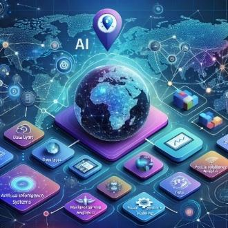
GIS Enterprise Solutions
o Deployment & Customization
o Monitoring & Assessment
o Analytics System
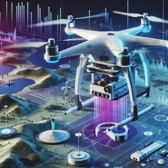
Surveying & Data Capturing
o On Surface
o Sub-Surface
o Above Surface
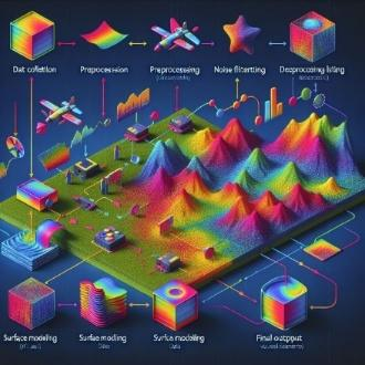
Data Generation & Processing
o Lidar, Drone
o Stereo Satellite Data
o CAD/SCAN to BIM

Analytics & Mapping
o Topographic Mapping
o Utility Mapping
o Analytics with Info Graphs
o Surface Hydrology

Project Management Consultancies
o Agile Approach based and SCRUM Framework based Project Management

Return on Investment
o With industry experience and correct project management model as per the project specifications, we ensures the timely delivery and ROI.

GIS Enterprise Solutions
o Deployment & Customization
o Monitoring & Assessment
o Analytics System

Surveying & Data Capturing
o On Surface
o Sub-Surface
o Above Surface

Data Generation & Processing
o Lidar, Drone
o Stereo Satellite Data
o CAD/SCAN to BIM

Analytics & Mapping
o Topographic Mapping
o Utility Mapping
o Analytics with Info Graphs
o Surface Hydrology

Project Management Consultancies
o Agile Approach based and SCRUM Framework based Project Management

Return on Investment
o With industry experience and correct project management model as per the project specifications, we ensures the timely delivery and ROI.


