We’d love to hear from you! Whether you have a question, need a custom geospatial solution, or want to explore how we can help with your next project, our team is ready to assist.
Scan to locate us
Ready to turn your vision into reality? Our team of geospatial experts is here to provide innovative solutions tailored to your needs. Whether it’s land demarcation, advanced surveying, or data analytics, we’re committed to delivering precision and results.

Geo Solutions India excels in providing comprehensive surveying and data capturing/imaging services using advanced technologies like drones, LiDAR, GPR, and DGPS. Our expertise spans various domains, ensuring precise and efficient data collection for diverse applications.
Let’s start a conversation today and make your project a success!


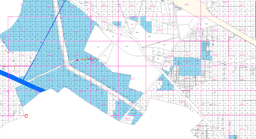
“From chaotic, unmarked fields to clearly defined boundaries that bring clarity and legal security.”
Image 1: Before—overlapping fields without boundaries; After—precisely demarcated plots.


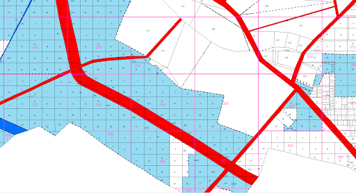
“Transforming traditional farmlands into well-organized revenue records for better land management.”
Image 2: Before—undefined agricultural fields; After—digitally marked areas with labels.


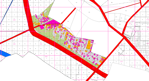
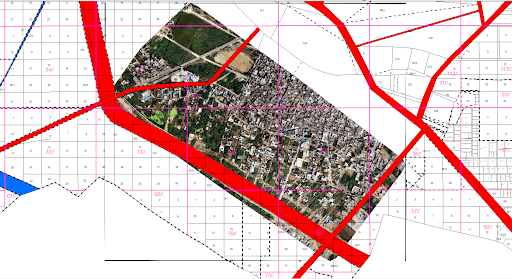
“Bringing accuracy to village land records, ensuring transparency and rightful ownership.”
Image 3: Before—vague land distribution; After—clean demarcation lines with GPS-based mapping.
 by INKANDBLINK