Services
Introduction
The field of Geo-informatics has evolved as a revolutionary tool that helps in taking better decision for Good Governance, Natural Resource Management, Urban & Regional Planning, Utility Mapping, Property Tax Management, Transportation Planning & Management, Agriculture & Irrigation, National Security Services and in many more fields.
Geo Solutions offers advanced and world class services in the field of Remote Sensing (Satellite Image, Aerial Photographs, Photogrammetry, Drone Images), Geographical information Systems (Thematic Mapping, Topographical Mapping, Spatial & Non-spatial Analysis), Global Positioning System (DGPS, GPS Survey).
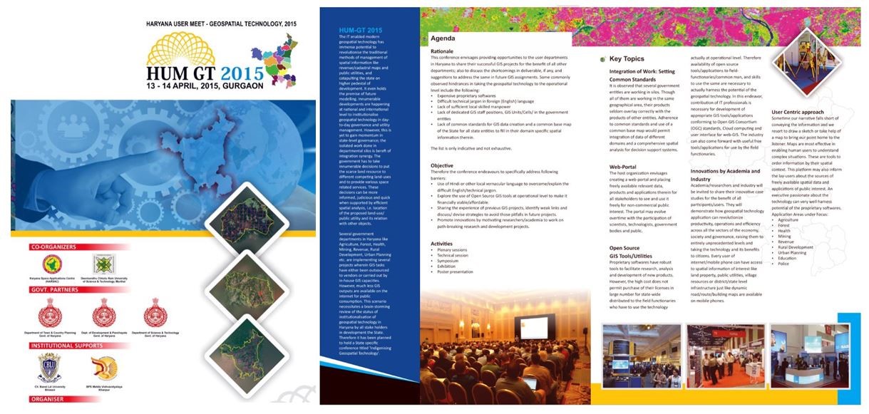
Natural Resource Management & Mapping
- Landuse / Landcover
- Slope / Aspect
- Wasteland
- Soil
- Watershed
- Morphology
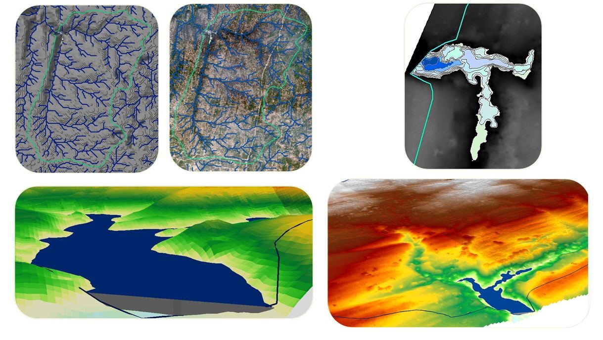

Land Demarcation and Record Management
- Demarcation of Revenue Land on Ground
- Computerization of Land Records
- Digitization of Revenue Maps and Land Records
- Updating through Conventional Survey
- Photogrammetry and High Resolution Satellite Imagery
- Land Information System Development
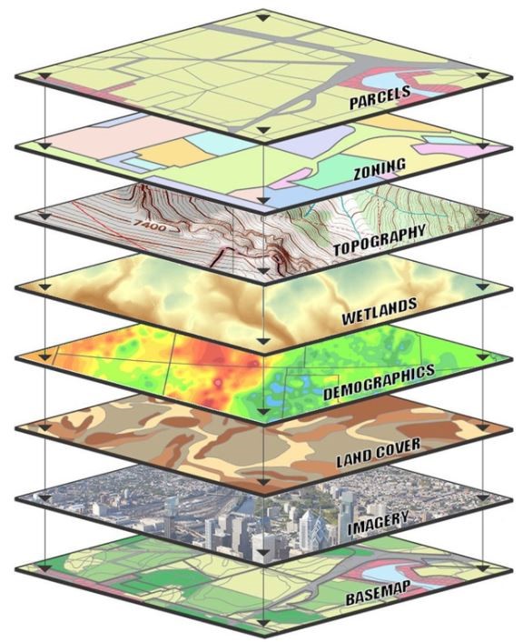
Geographical Information Systems (GIS)
- Conversion of existing paper maps into spatial database including data capture and attachment of attributes
- Municipal Information System
- Village Information System
- Bus Route Management System
- Pipeline Route Mapping and Construction Support
- Web GIS based Information System
- Facility Mapping & Spatial Analysis of Facilities
- Customized GIS based Spatial Decisions Support Systems
- Online GIS Database Submission
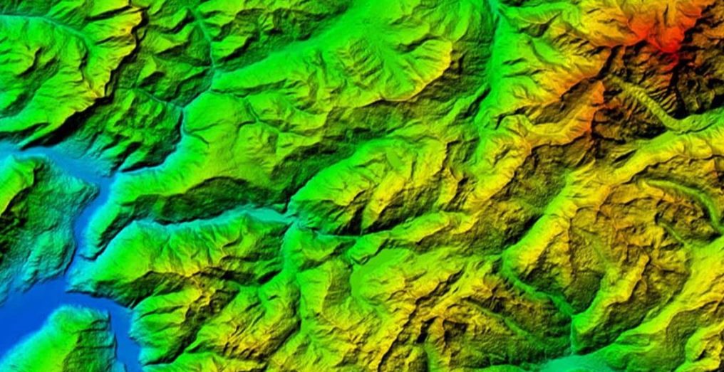
Digital Terrain Modeling
- Hazard Modeling (Landscape, Flash Floods, Snow Avalanche etc.)
- Alignment (Highway, Canal etc.)
- Land Evaluation
- 3D Visual Analysis
- Terrain Analysis (Volume calculation, Line of sight, Slope etc.)
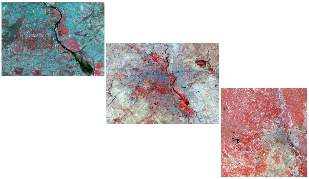
Remote Sensing & Photogrammetry Services
- Satellite Data Procurement
- Image Rectification
- Ortho − Image/Photo Generation
- Aerial Triangulation
- Digital Classification & Interpretation
- Features Extraction
- Urban Heat Island Analysis
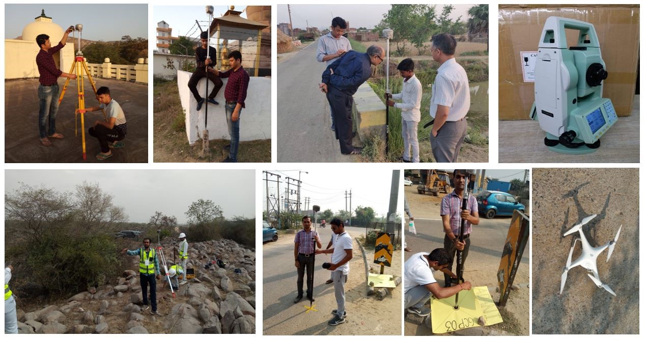
Land Survey using Drone, DGPS, ETS
- Topographical Mapping
- Land Parcel Survey
- Fleet Management System and Online Vehicle Positional Provided Service
- Aerial Triangulation
- Mobile mapping using GPS
- Facility Mapping
- Location based Infrastructure Mapping
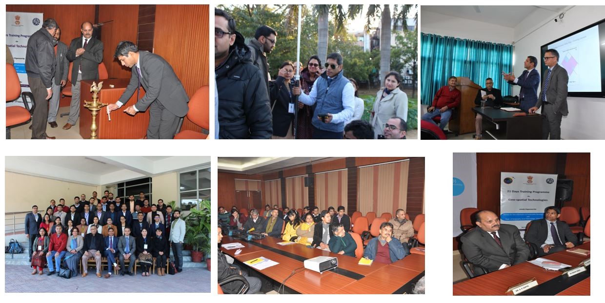
Capacity Building
- Design & Conduct Training Programmes on Geospatial Technologies for various Govt. Departments i.e. Defense, Civil Servants, Forests, Town & Country Planning, Revenue, Agriculture, Urban Local Bodies etc.
Event Organization
- Provide Platforms for sharing Knowledge through Conferences & Forums
- Organized Haryana User Meet on Geospatial Technologies-2015